Comprehensive remote aerial inspection and surveying solutions for the energy, infrastructure, construction, mining, and agriculture industries.
Industrial Drone Inspections
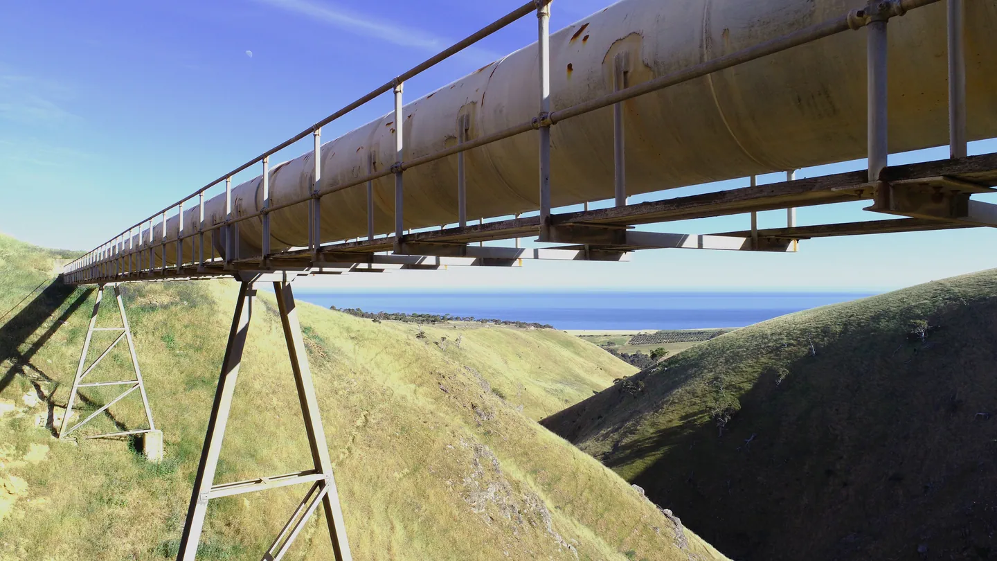
High-resolution visual and thermal inspections for critical assets and complex infrastructure — delivering actionable data without shutdowns or high-risk access.
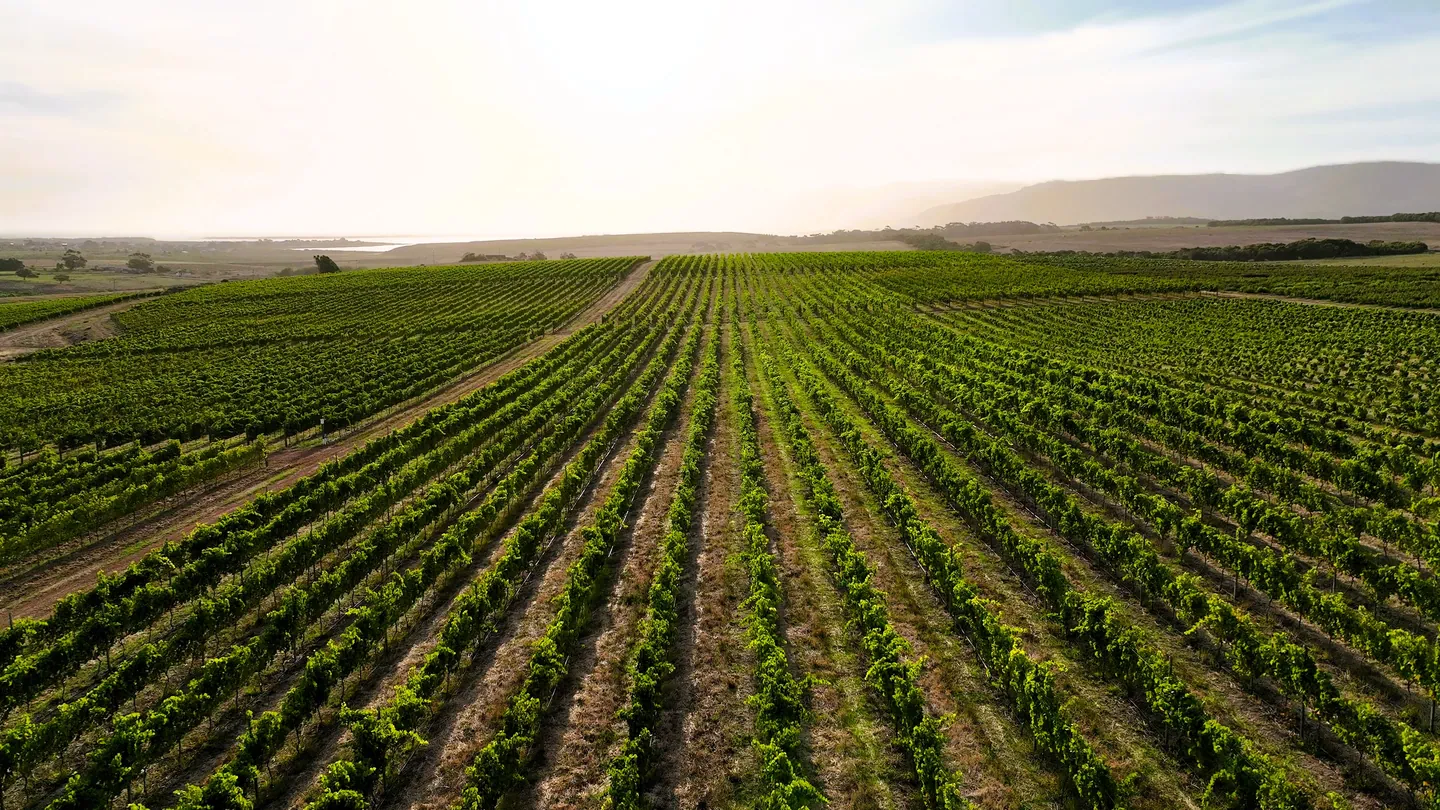
Advanced crop monitoring and precision drone spraying designed to improve yield performance, reduce input waste, and support data-driven farm management.
We operate advanced UAV platforms and RTK-enabled systems to deliver centimetre-level accuracy across inspections and surveys.
Certified & Compliant Operations
Fully licensed pilots operating under South African Civil Aviation Authority regulations — prioritising safety and regulatory compliance on every mission.
Actionable Data, Not Just Imagery
We deliver structured outputs including orthomosaics, 3D models, thermal analysis, and volumetric calculations — designed to support engineering and maintenance decisions.
Multi-Industry Expertise
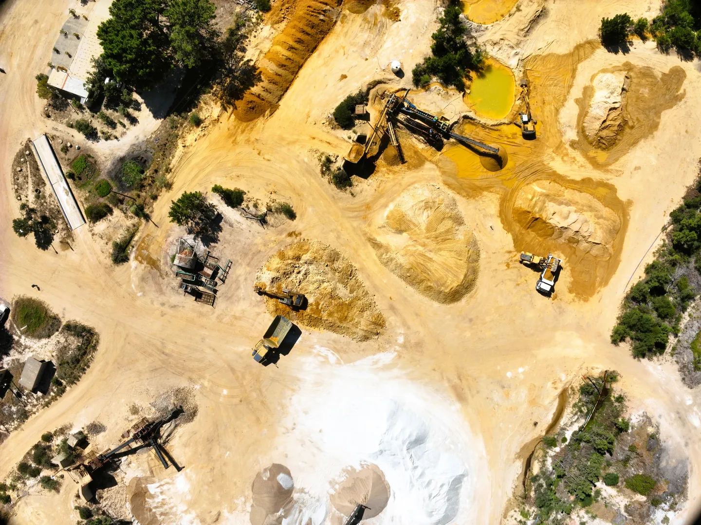
From renewable energy and oil & gas to construction, mining, agriculture, and civil infrastructure — we bring proven operational experience across the sectors we serve.
Albatross Drone Solutions operates in full compliance with South African Civil Aviation Authority Part 101 regulations. Our remote pilots are fully licensed, and all commercial drone operations are conducted within regulated aviation frameworks — ensuring safe, legal, and professionally managed missions across complex industrial environments.
Powered by DJI Enterprise Platforms
We deploy DJI Enterprise-grade drone systems engineered specifically for industrial inspections, surveying, and mission-critical operations. These platforms support advanced multi-sensor payloads, thermal imaging, RTK positioning, and high-reliability data capture — delivering consistent, centimetre-level accuracy in demanding conditions.
Plan Your Next Inspection or Survey with Confidence
Whether you require industrial inspections, precision aerial surveys, or agricultural monitoring, Albatross Drone Solutions delivers regulated, professional drone operations backed by advanced data outputs.
Speak with our team to discuss your project scope, compliance requirements, and reporting needs.